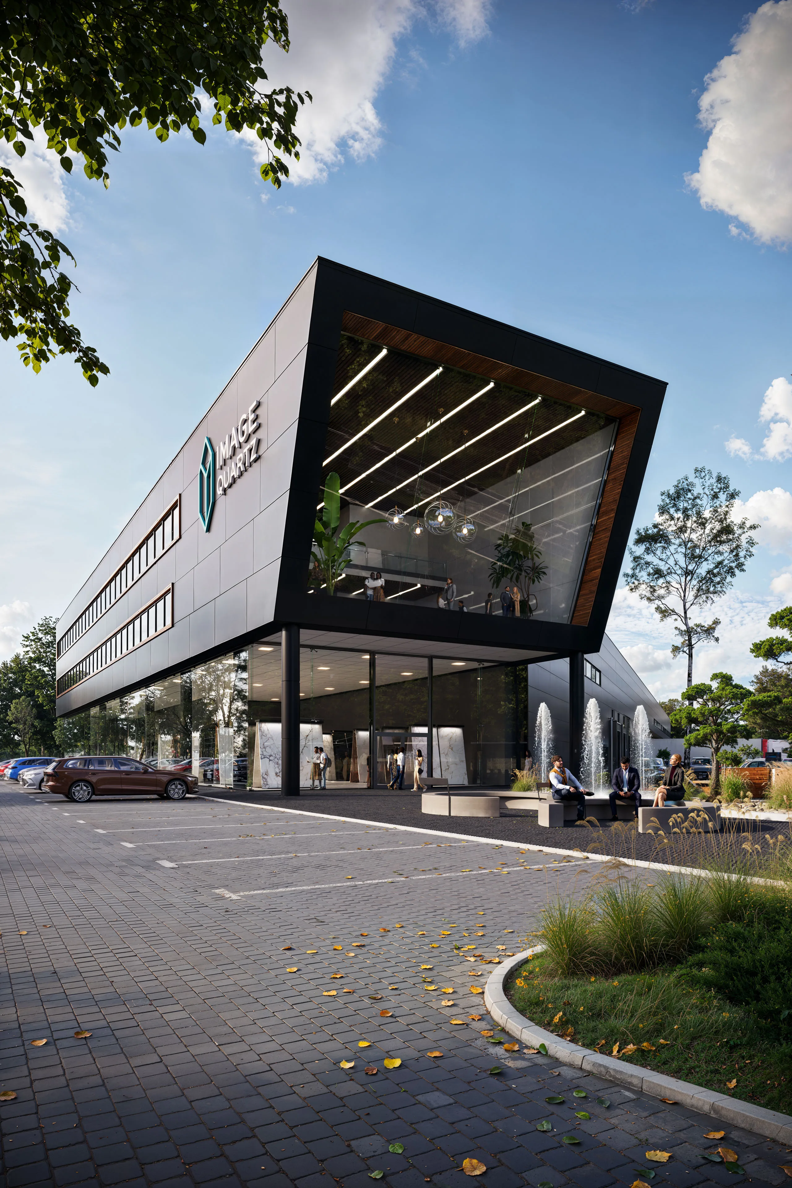
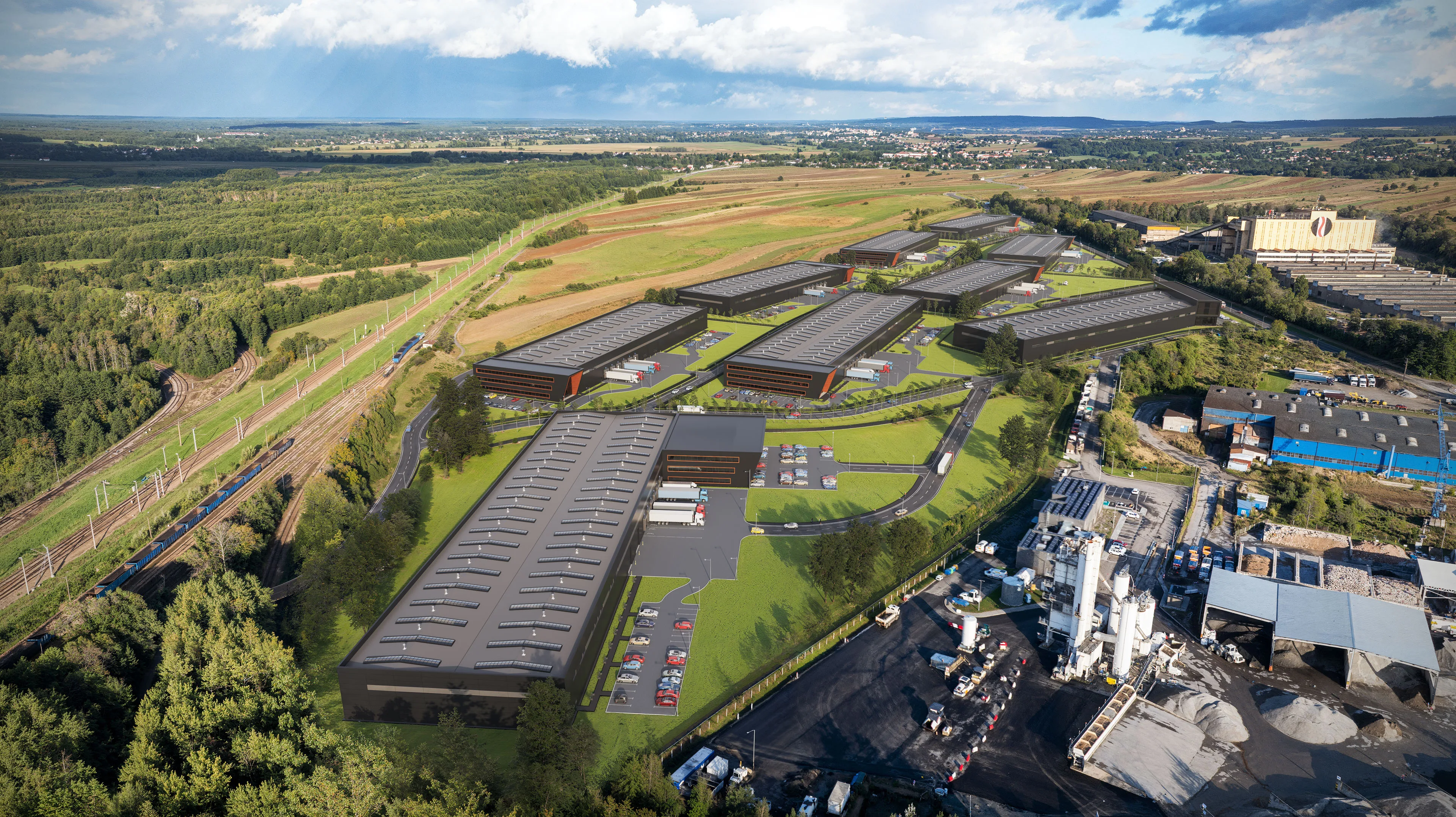
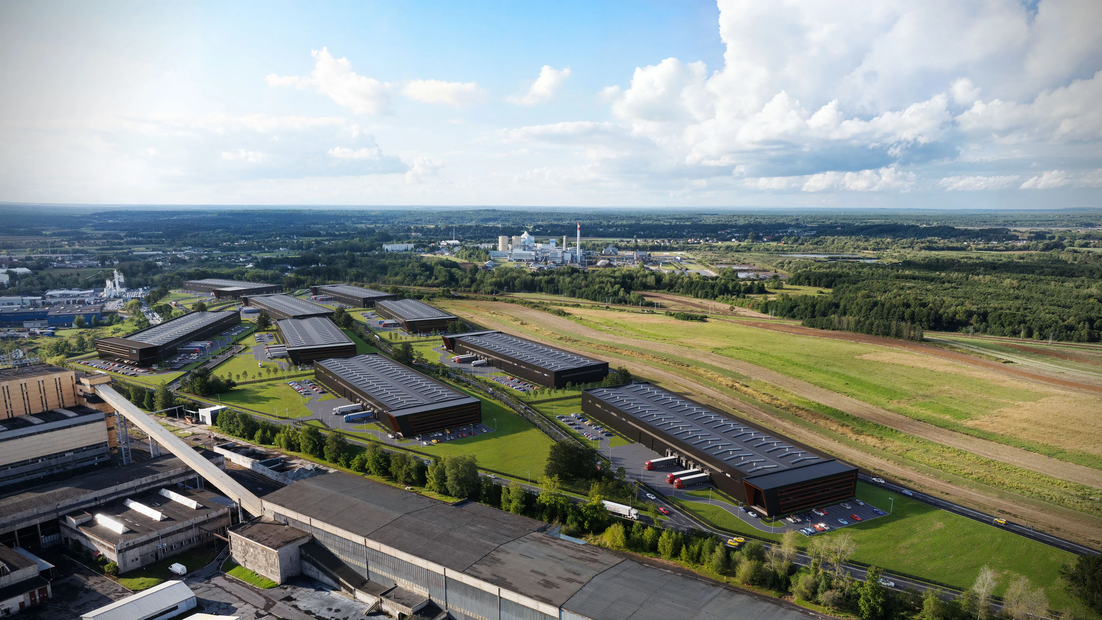
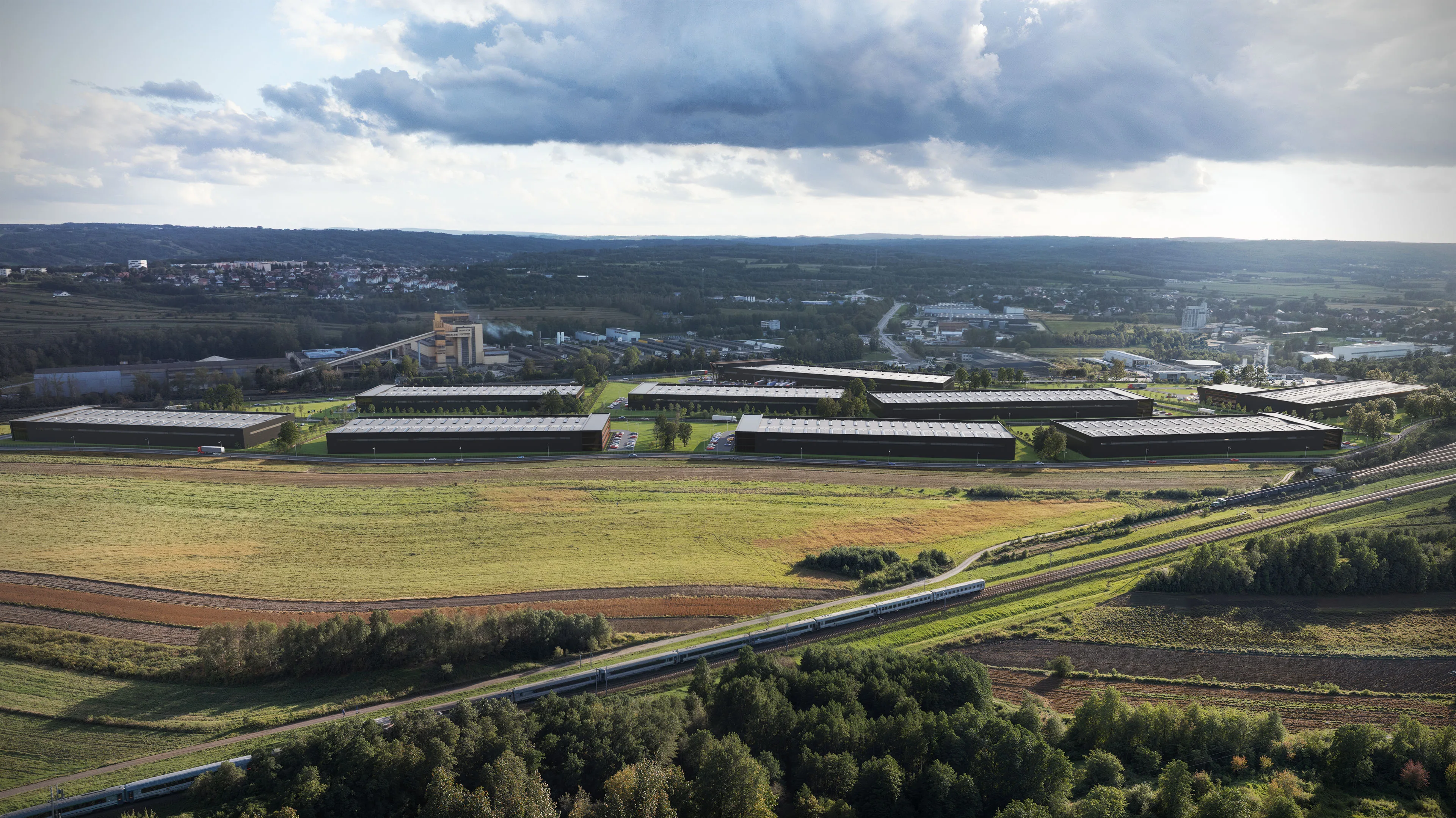
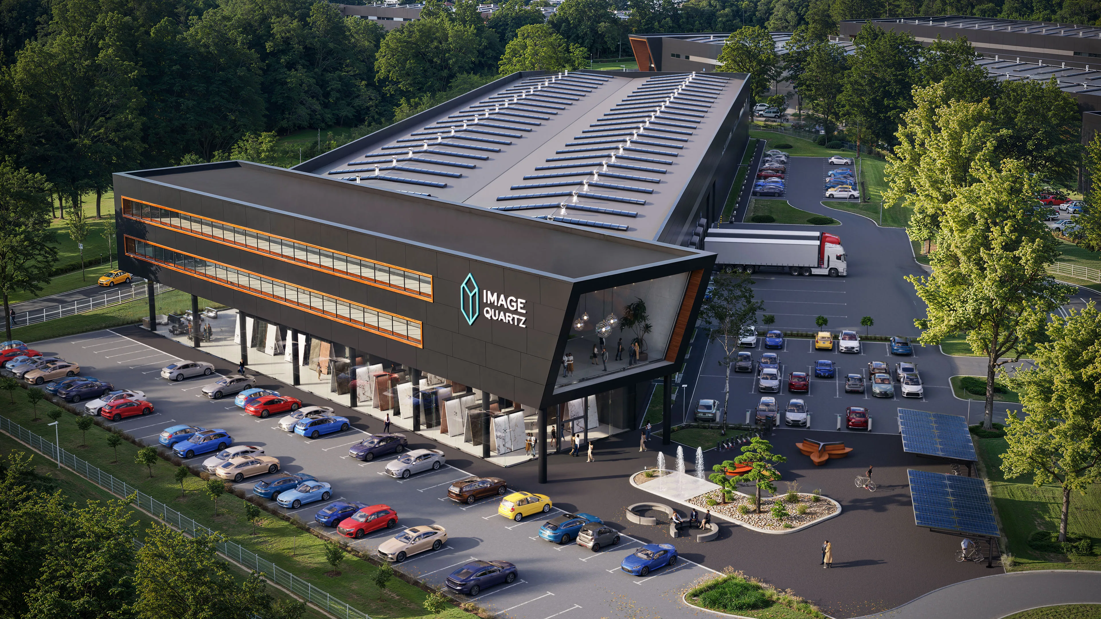
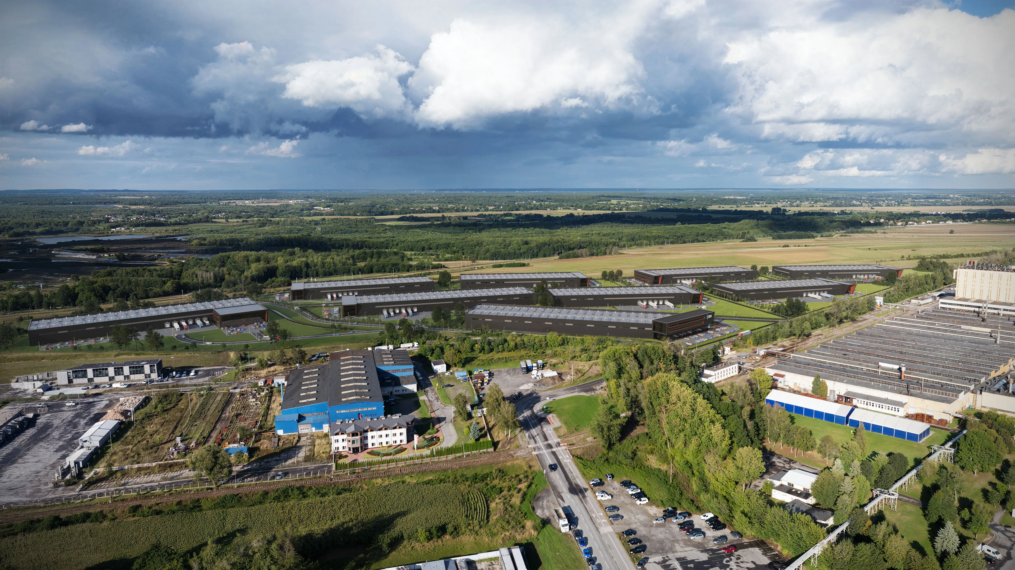
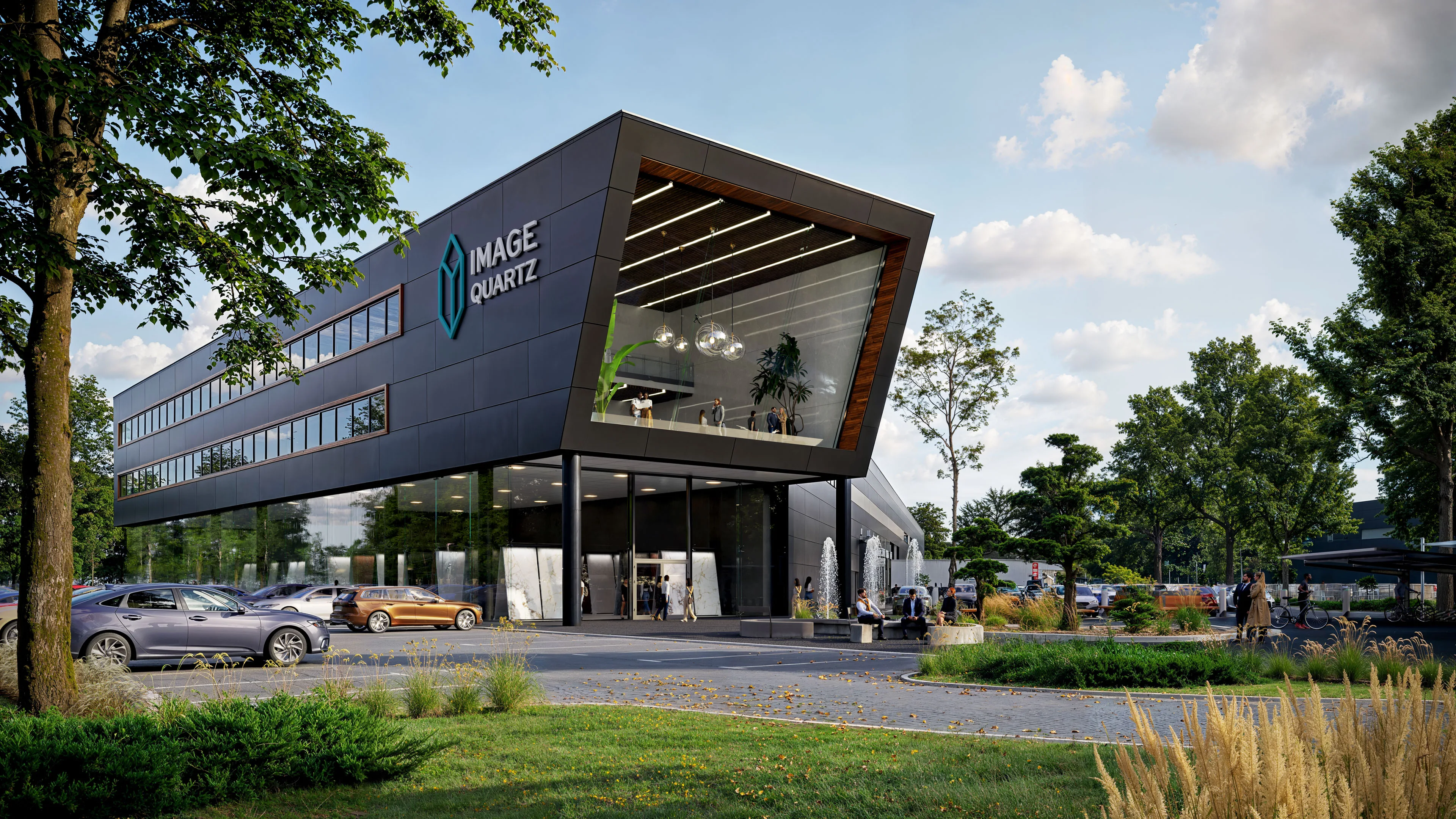
We use advanced camera matchmoving and tracking software to replicate the exact lens focal length, height, and orientation of the physical drone. This allows us to overlay our conceptual 3D buildings onto the aerial photography plates with pixel perfect alignment, ensuring the digital structures sit naturally within the real environment.
A CGI site study acts as a visual capacity proof for land development. It allows landowners and brokers to demonstrate the maximum buildable potential, spatial efficiency, and commercial layout of a plot to prospective investors or buyers before spending massive budgets on definitive architectural blueprints.
From architectural blueprints to high-fidelity CGI and immersive interactive virtual tours. We engineer visual assets that streamline investor approval loops, maximize property value, and drive conversions.
Discuss Your Project