Site Plan Visualization
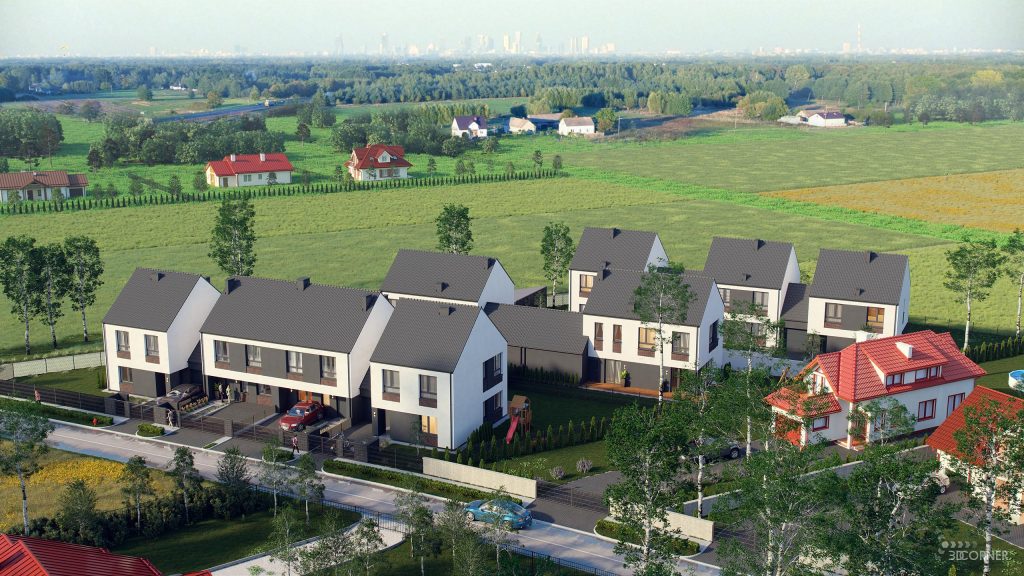
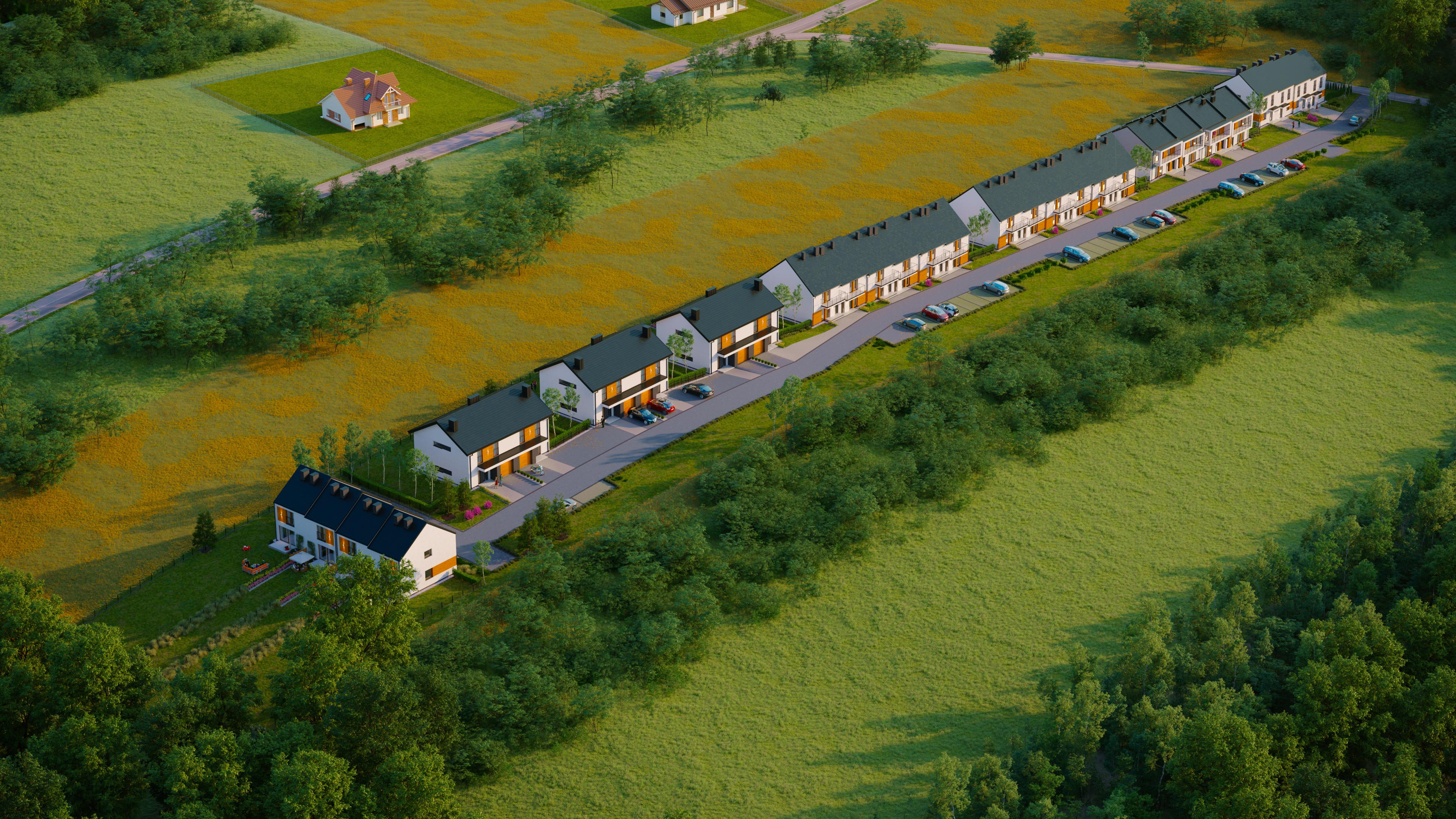
Translate expansive masterplans and complex real estate developments into comprehensive spatial narratives. We engineer high-fidelity 3D site plan visualization services that deliver a strategic bird’s-eye perspective, allowing property developers, municipal boards, and institutional investors to instantly comprehend layout logistics, infrastructure flows, and landscape integration long before groundbreaking.
The Macro Perspective: Strategic Site Plan CGI
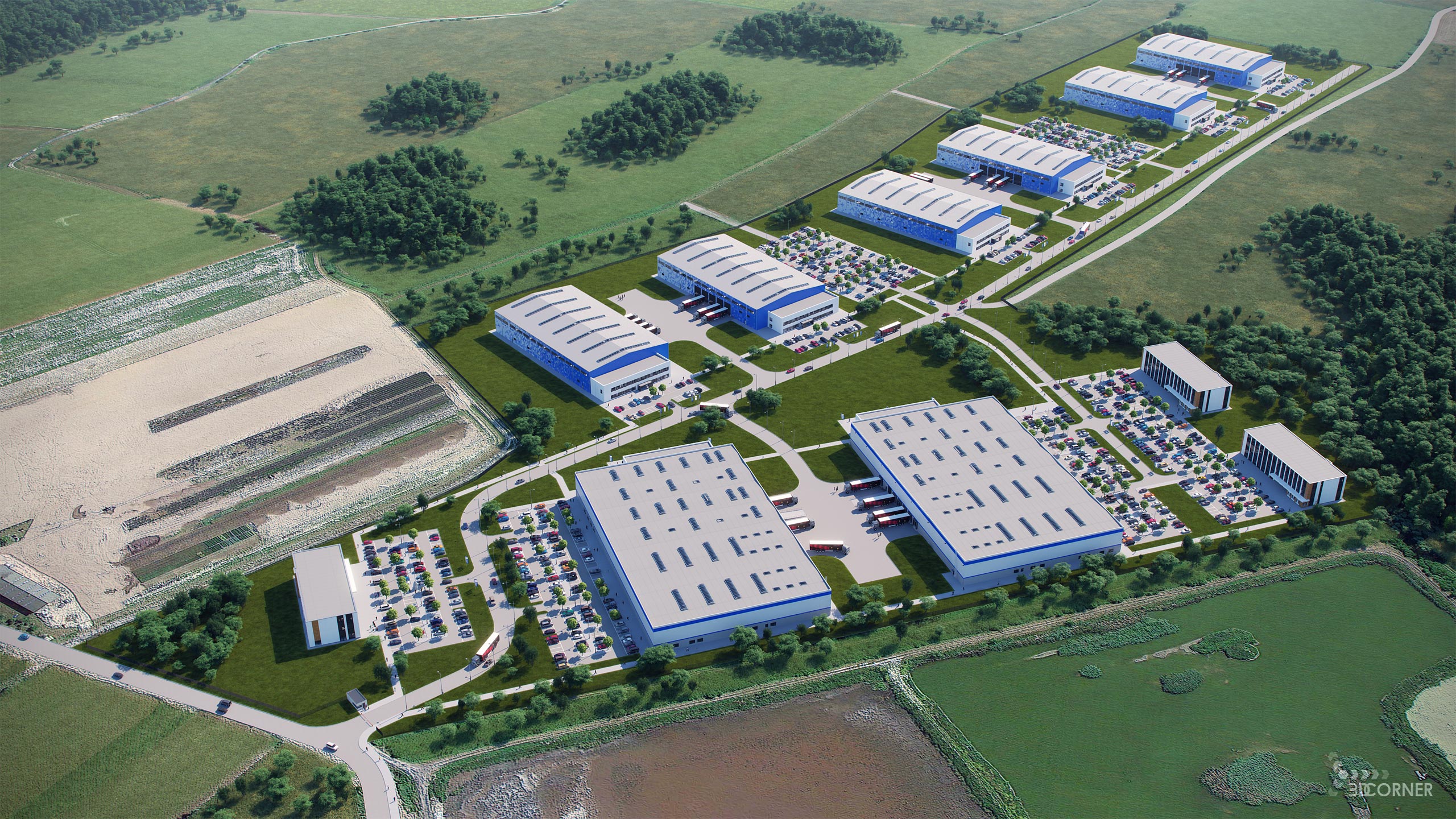
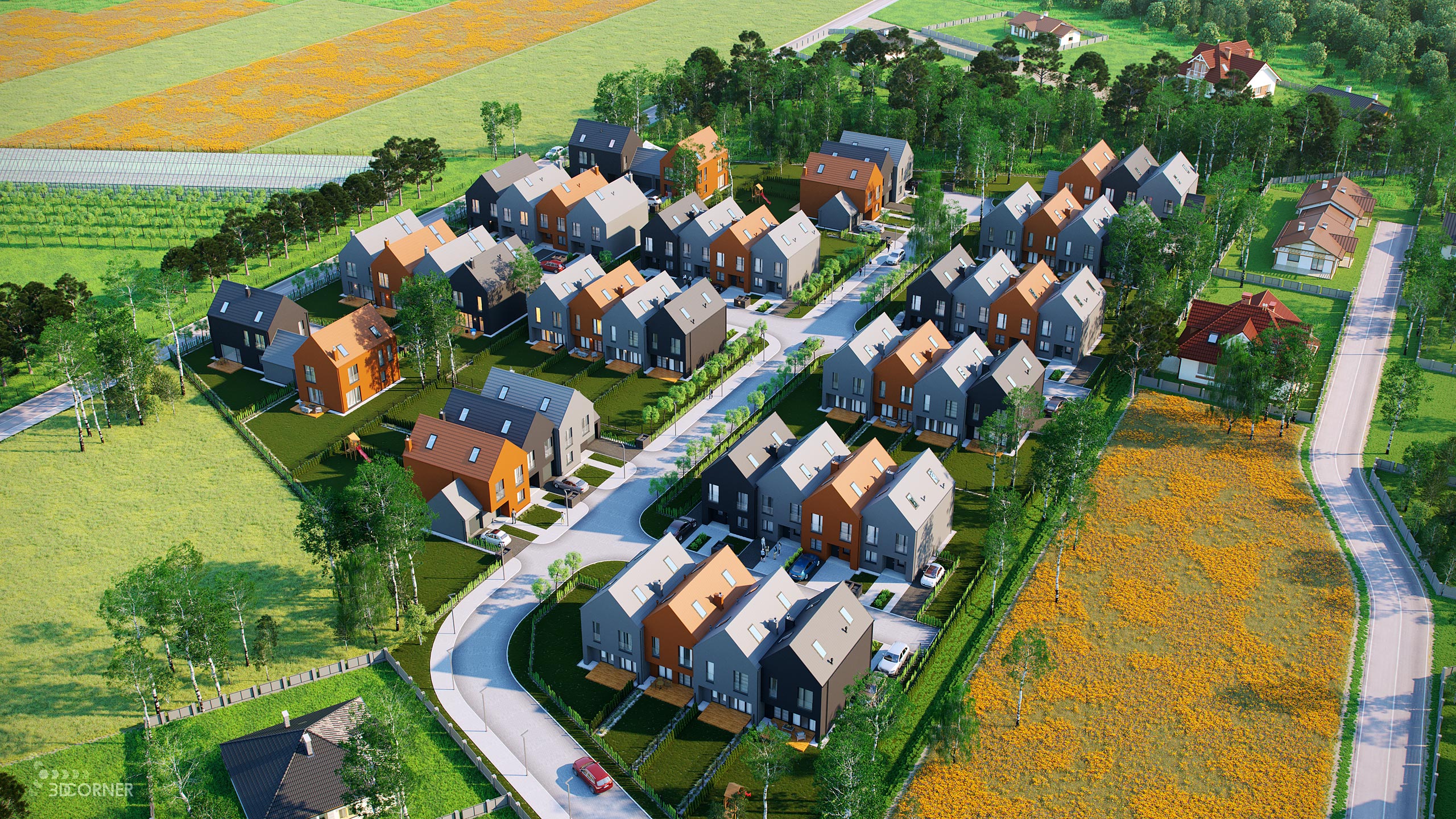
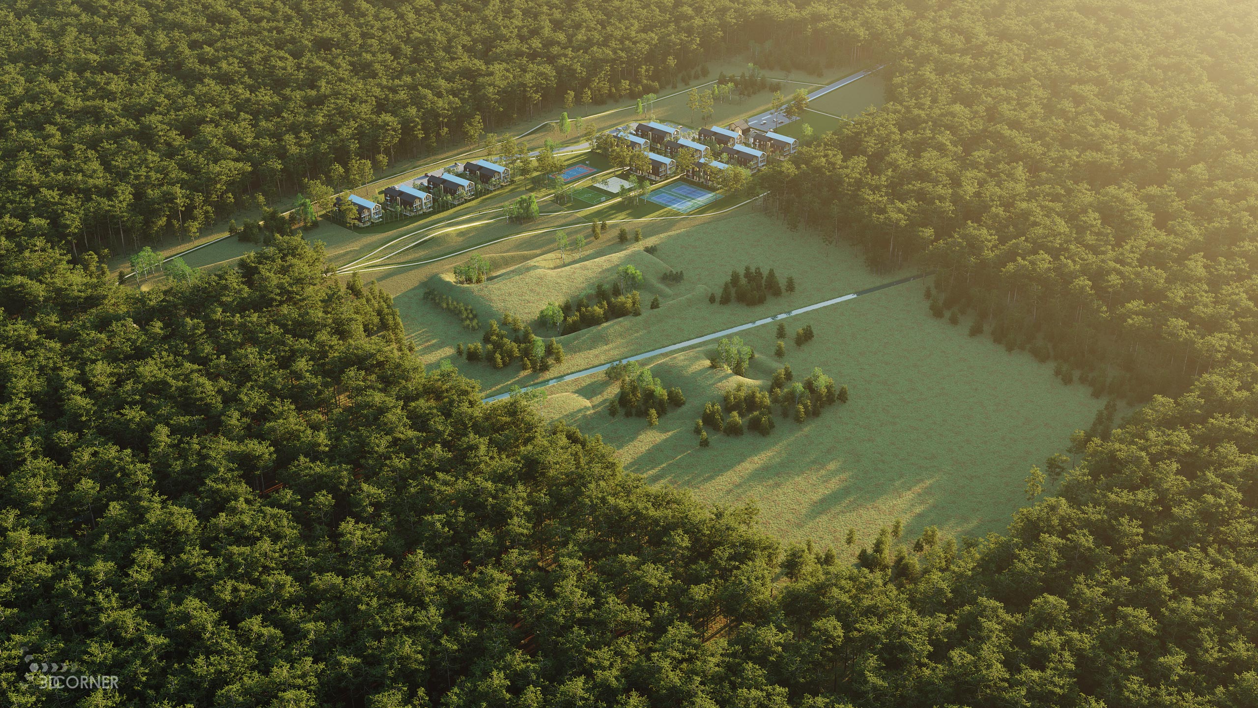
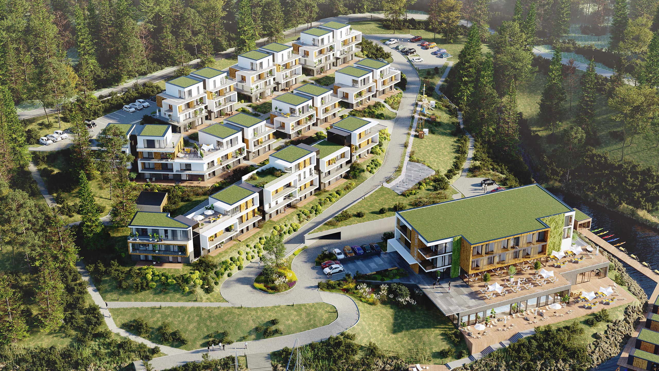
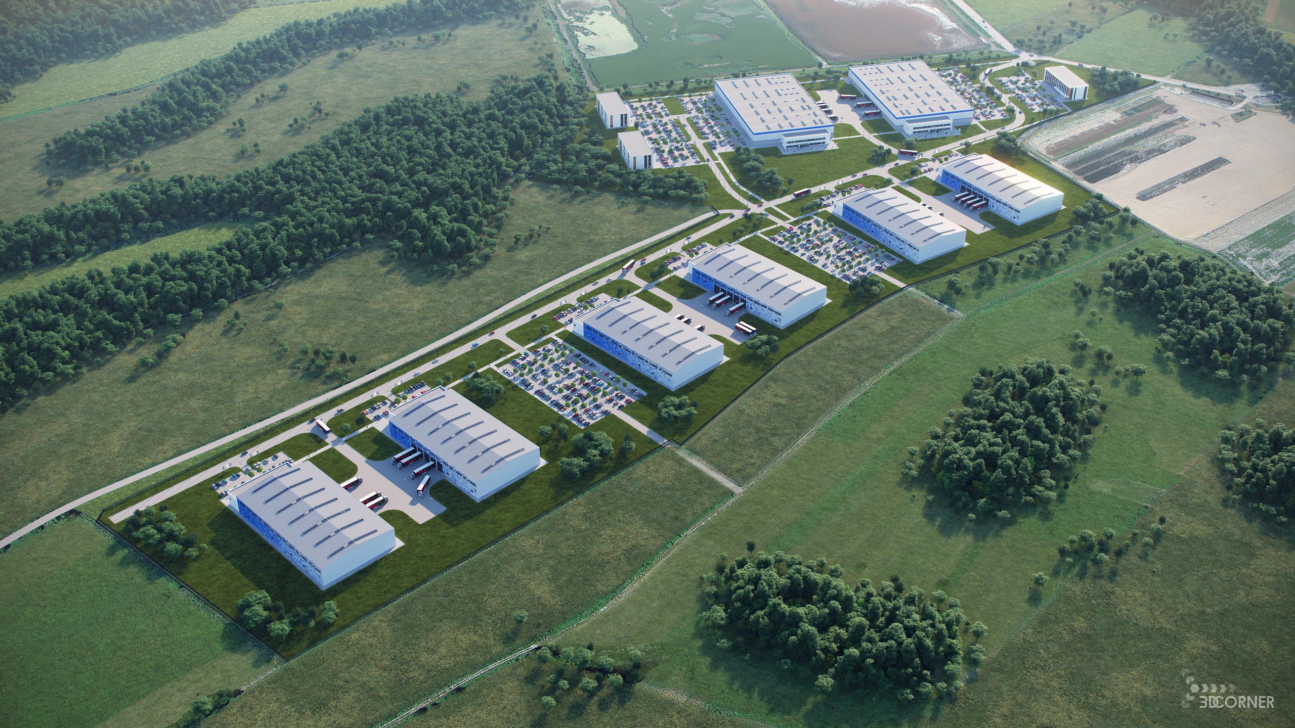
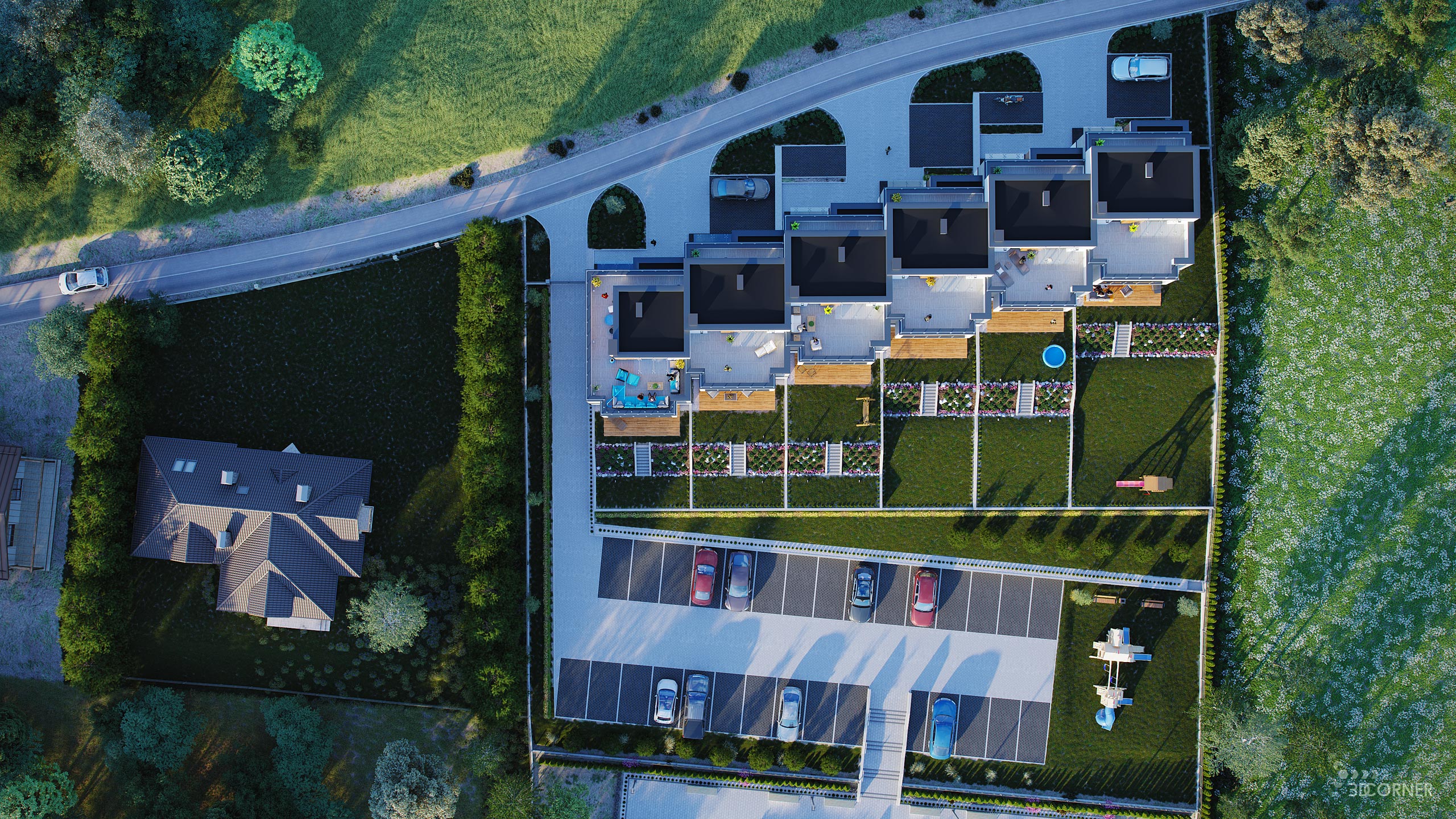
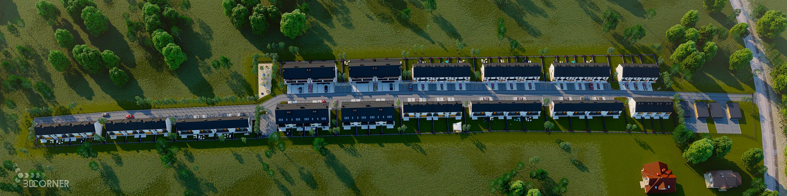
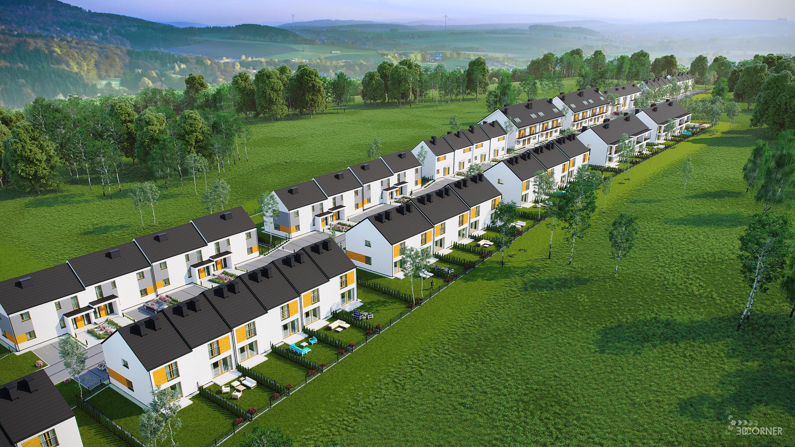
High-end 3D site plans go far beyond traditional 2D technical drawings—they provide clear, indisputable context for large-scale real estate developments. We develop photorealistic aerial and isometric site plan renderings that map out exactly how buildings, access roads, zoning boundaries, and green spaces interact within a given environment. This macro-level spatial clarity removes layout ambiguity and instills immediate confidence during investor pitches and public consultations.
Uncompromising Topological & Environmental Accuracy
Our production pipeline ensures that every site plan rendering reflects precise real-world data. We seamlessly integrate accurate GIS data, regional zoning constraints, and realistic terrain elevation models. From the subtle slopes of the topography to the mathematically accurate distribution of infrastructure networks, pedestrian walkways, and native botanical landscaping, we provide a mathematically sound and visually stunning asset for advanced urban planning.
Essential Assets for Diverse Development Sectors
Our 3D site plan renderings scale adaptively across major commercial, residential, and civic development sectors:
Public Infrastructure & Urban Revitalization: Providing local planning boards and regulatory bodies with clear visual evidence of environmental harmony and structural compliance.
Masterplanned Communities: Visualizing massive residential estates, highlighting public amenities, roadway connectivity, and community layout flows to boost pre-sale velocity.
Commercial & Industrial Hubs: Clarifying logistical layouts, heavy vehicle loading zones, parking capacities, and traffic distribution patterns for corporate stakeholders and future tenants.
Seamless BIM and CAD Data Integration
We combine rigorous engineering data with advanced digital artistry. Our studio ingests raw 2D DWG files, complex BIM (Revit) documentation, and civil engineering schematics, translating flat linework into a fully realized, three-dimensional ecosystem. By applying advanced sunlight simulation and realistic surface mapping to infrastructure networks, we create compelling marketing and technical assets that stand out in highly competitive global markets.
Maximizing Pre-Sale Velocity and Stakeholder Trust
Investing in macro-scale site visualizations significantly impacts project approval timelines and financial momentum. Clear, photorealistic 3D site plans minimize spatial misinterpretations among regulatory boards, smoothing the path to municipal approvals. For marketing teams, it serves as the ultimate early-stage asset, allowing developers to secure anchor tenant leases and early-stage investment commitments long before the first foundation is poured.
Initiate Your Site Plan Production
Partner with a CGI studio that values technical precision and understands the heavy logistics of commercial real estate development. Our structured project management framework guarantees a predictable, milestone-driven workflow from CAD intake to final high-resolution delivery.
Ready to clarify your project’s grand scale?
Contact our studio today for a precise, scope-tailored quote and bring your masterplan into photorealistic reality.
Examples of 3D Corner Site Plan 3D Visualizations