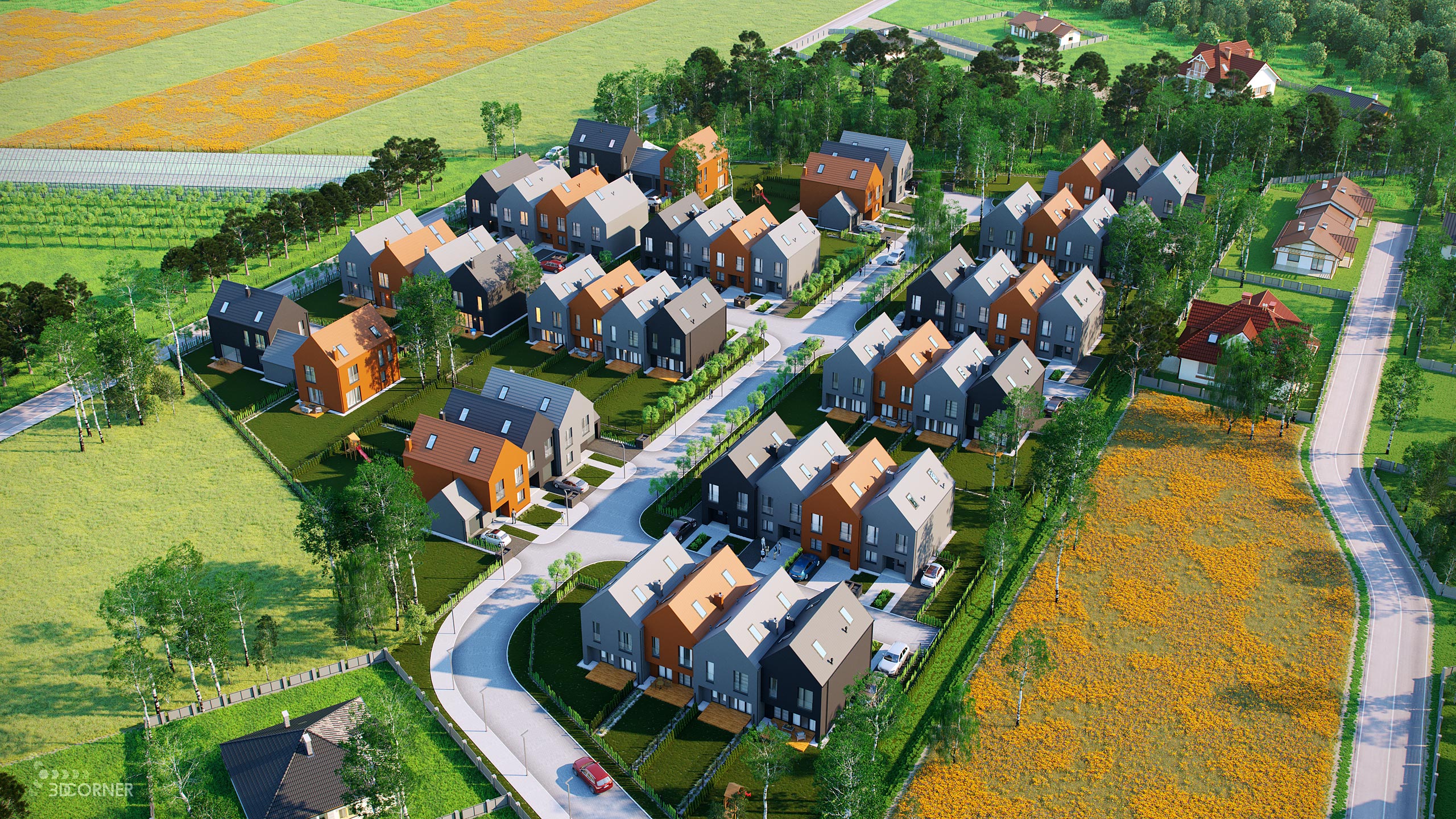
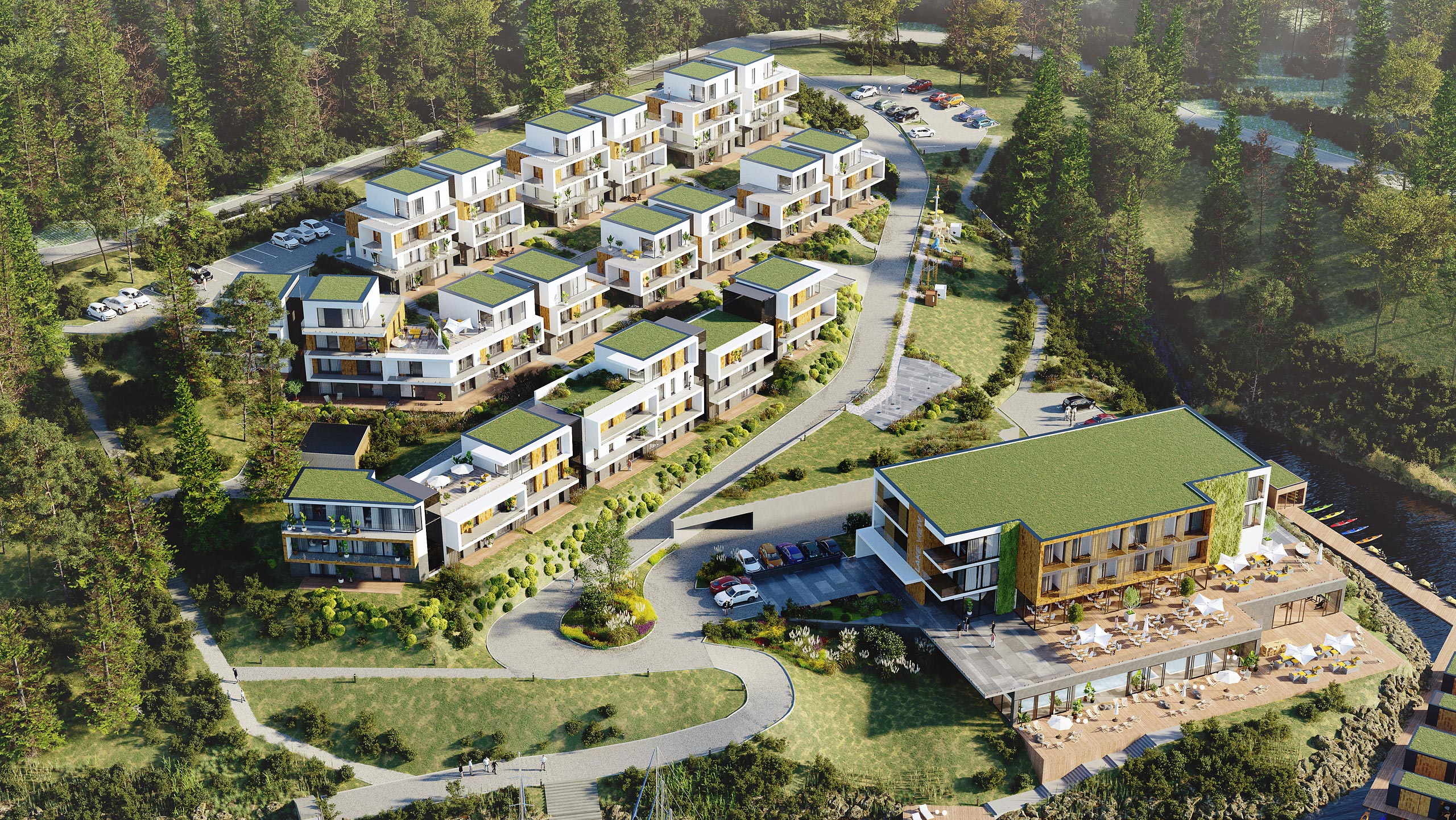
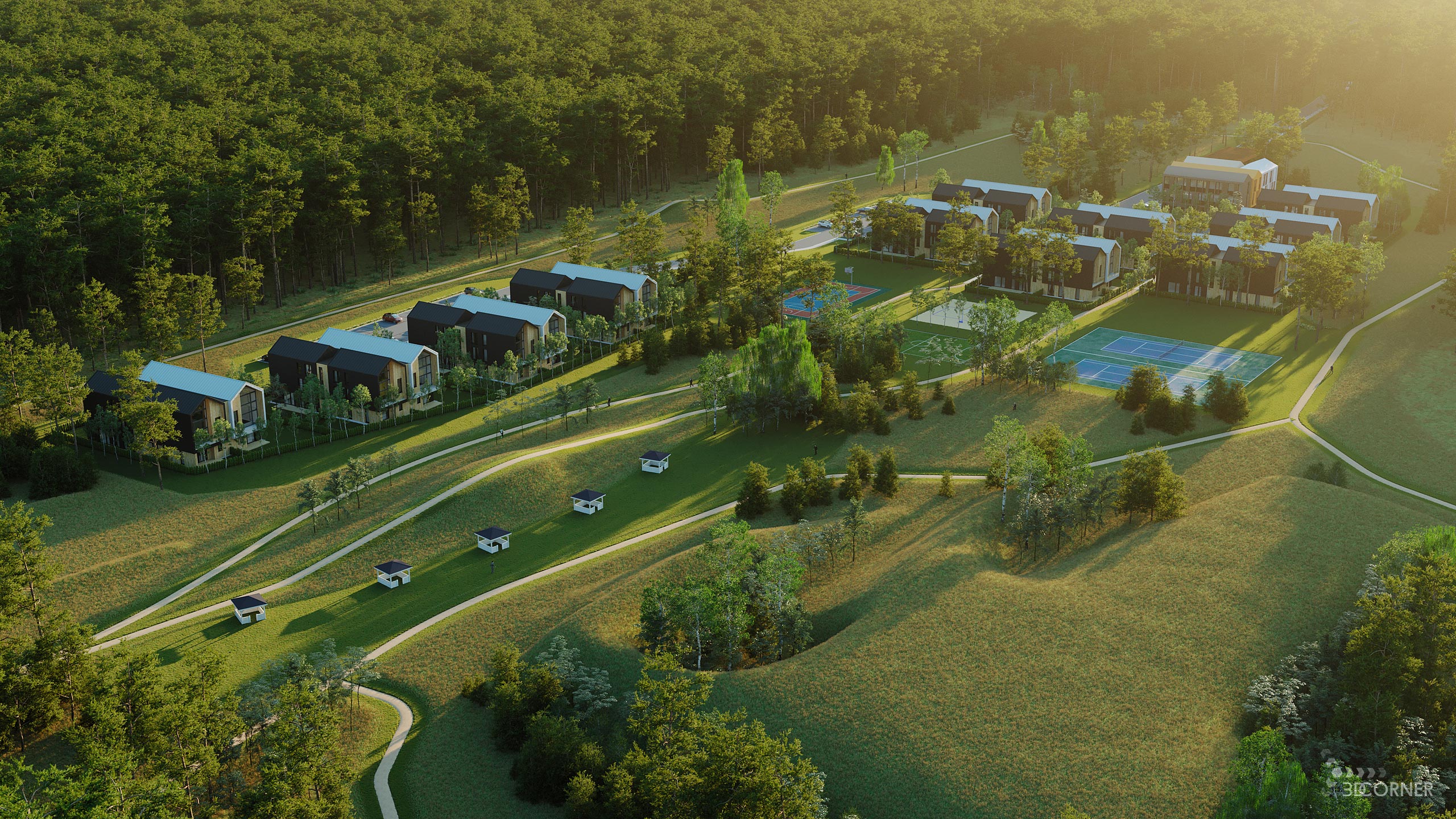
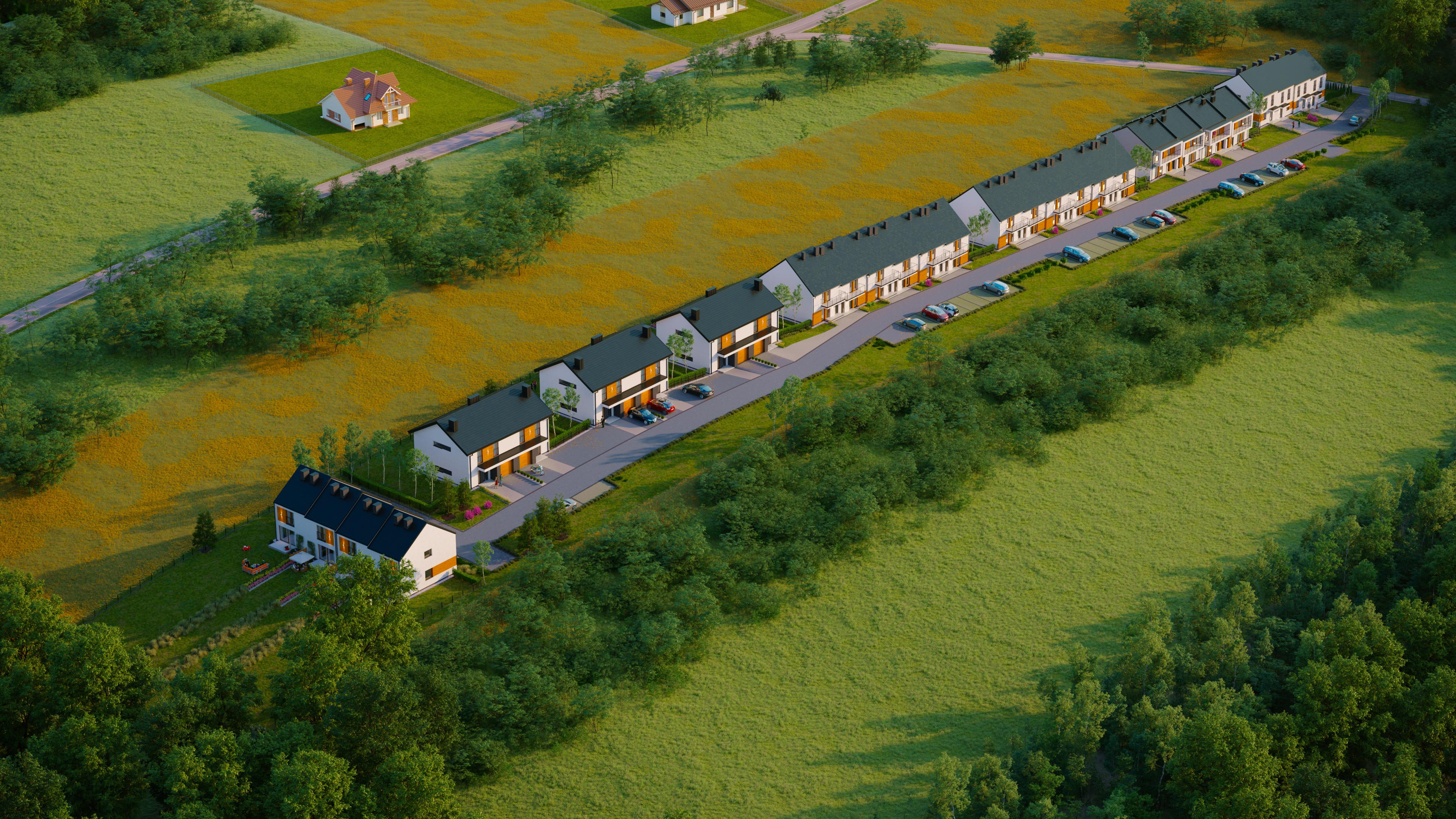
Aerial View 3D Visualization Services
Capture the grand scale and commanding macro perspective of your landmark real estate developments. We engineer high-fidelity aerial 3D visualization services that seamlessly contextualize massive architectural forms within their authentic urban or natural environments, giving institutional investors, planning boards, and premium buyers an indisputable understanding of spatial authority and layout connectivity.
The Strategic Leverage of High-Altitude CGI
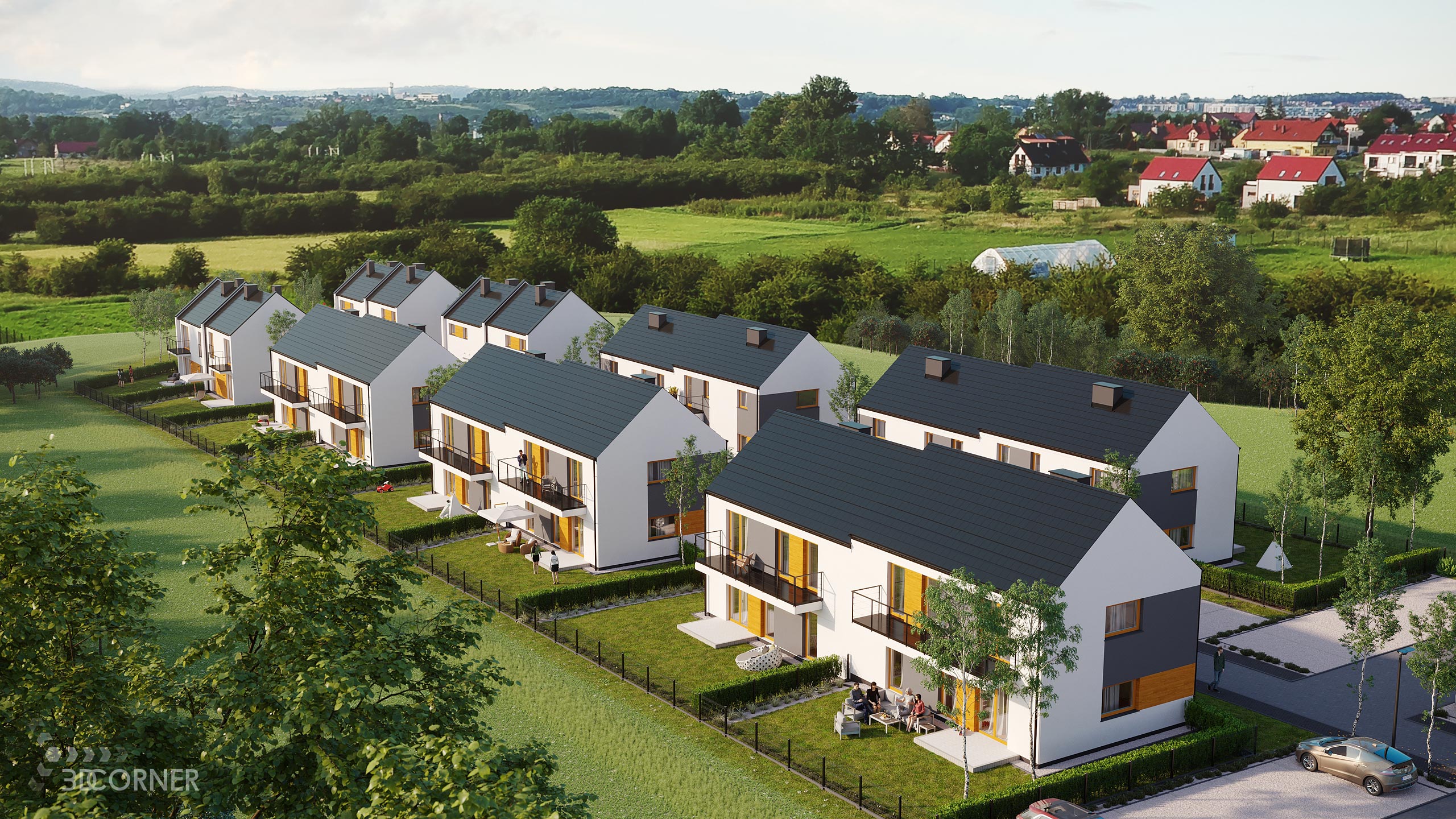
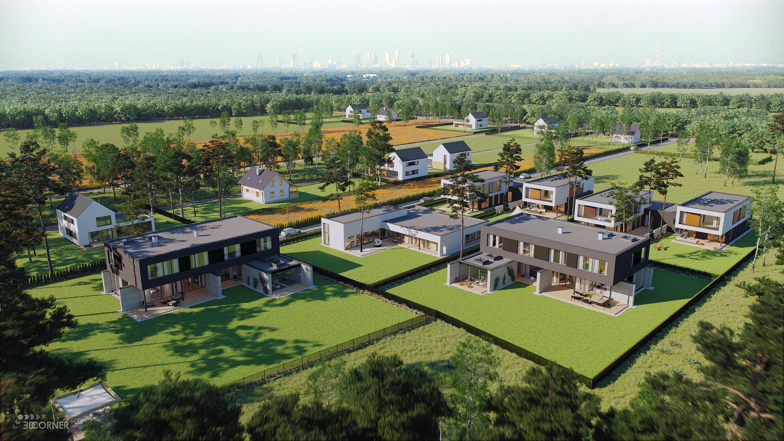
Premium aerial renderings go far beyond standard eye-level imagery—they serve as the definitive visual anchor for large-scale property marketing. We develop photorealistic bird’s-eye and drone-perspective CGI that clarifies the relationship between your architectural structure and the surrounding infrastructure, transport networks, and natural geography. This macro-scale transparency removes volumetric ambiguity, making it an indispensable asset for high-stakes investor relations and competitive commercial leasing campaigns.
Advanced Drone Photomontage and Photographic Integration
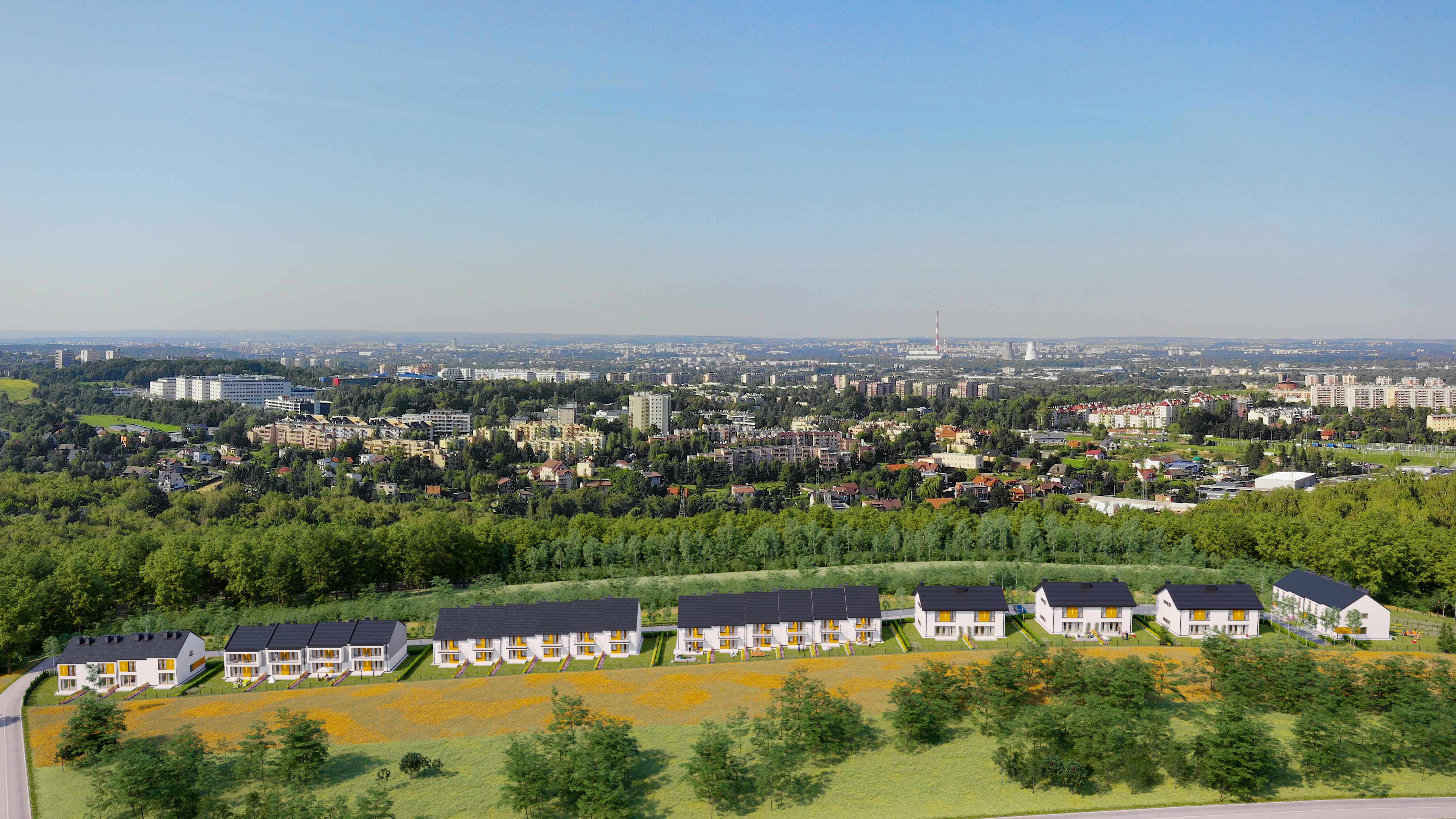
We merge rigorous technical accuracy with cinematic realism. Our production pipeline specializes in high-end photomontage integration, flawlessly blending your unbuilt 3D architectural models into real-world, high-resolution drone photography plates. By precisely matching the geographical sun angles, atmospheric haze, camera lens focal lengths, and complex shadow distributions of the native site, we deliver indistinguishable, real-context visual assets long before groundbreaking.
Core Structural Typologies We Elevate
Our high-performance rendering infrastructure adaptively scales to capture the complex architecture of large-scale development sectors:
- High-Rise & Skyscraper Landmarks: Showcasing structural dominance, curtain-wall reflections, and commanding penthouse vistas within the existing city skyline.
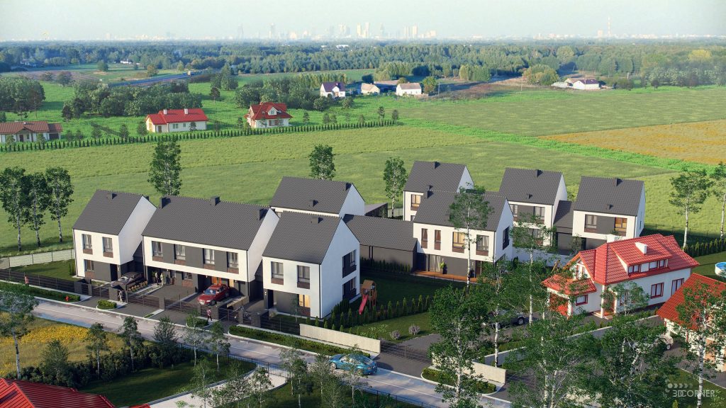
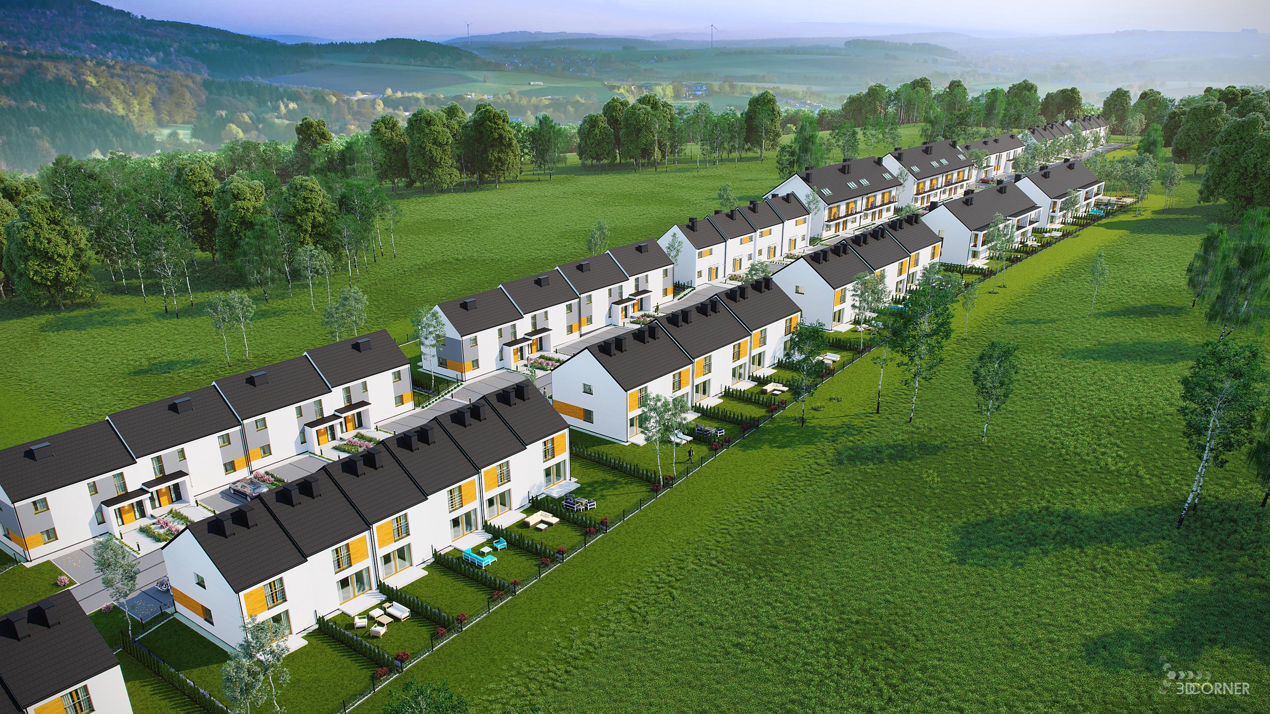
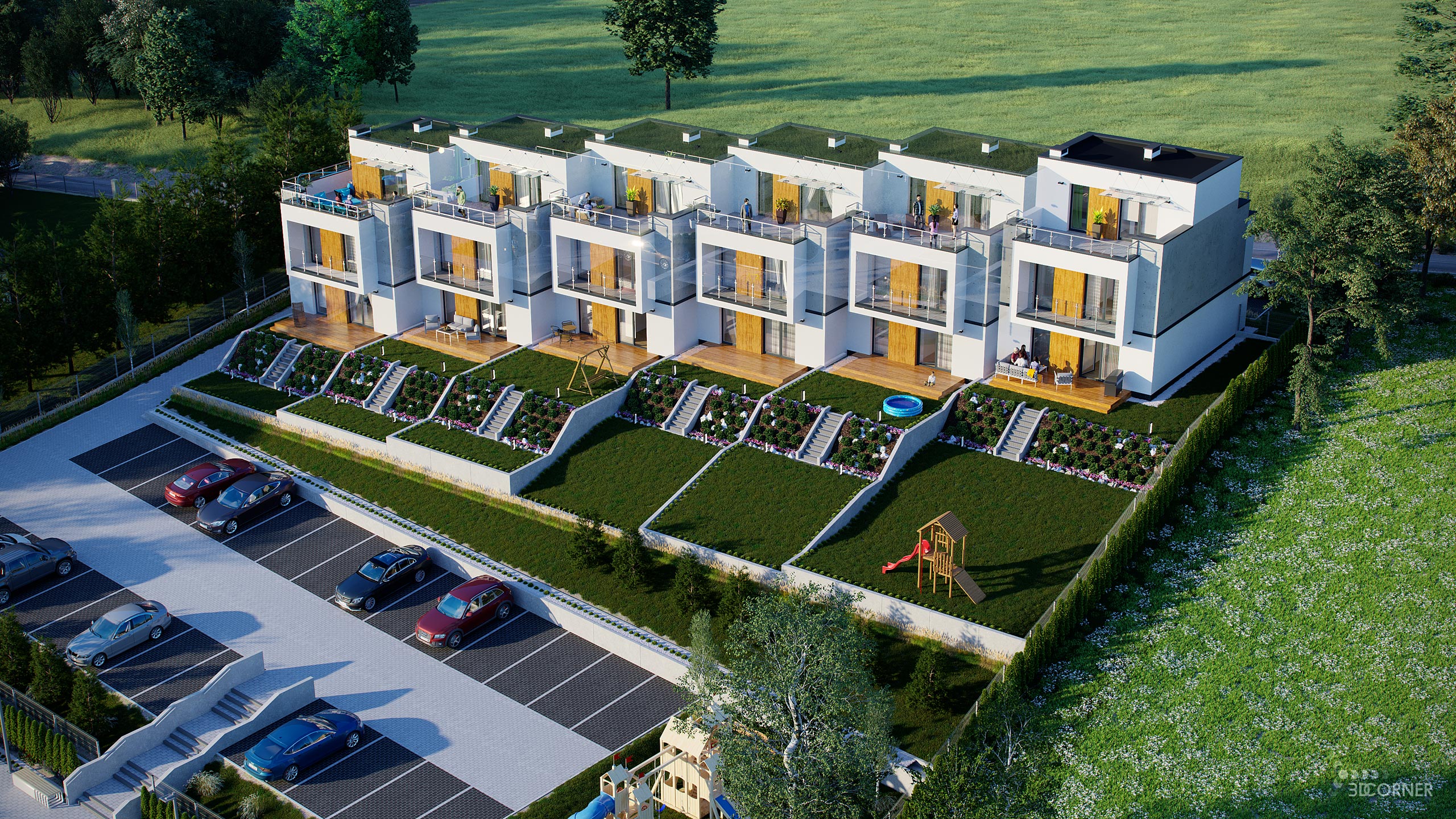
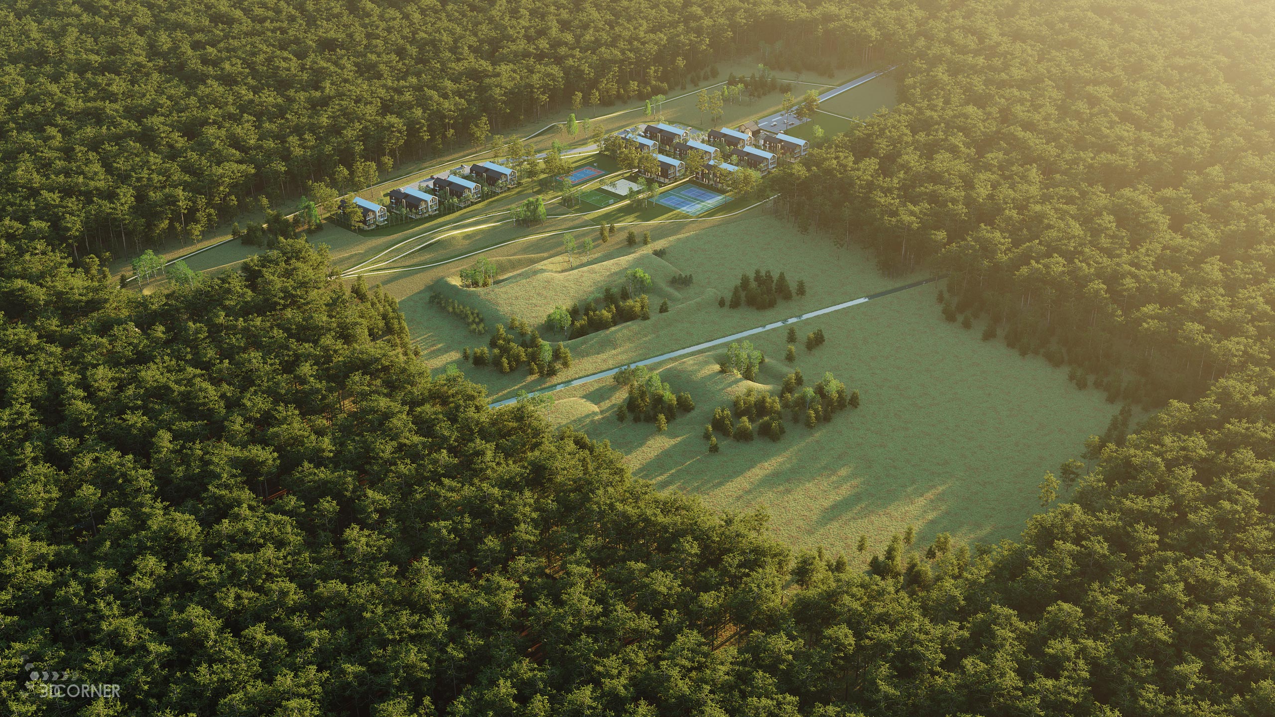
- Sprawling Mixed-Use & Residential Masterplans: Visualizing expansive neighborhood layouts, green infrastructure, community flow, and overall zoning boundaries from optimal heights.
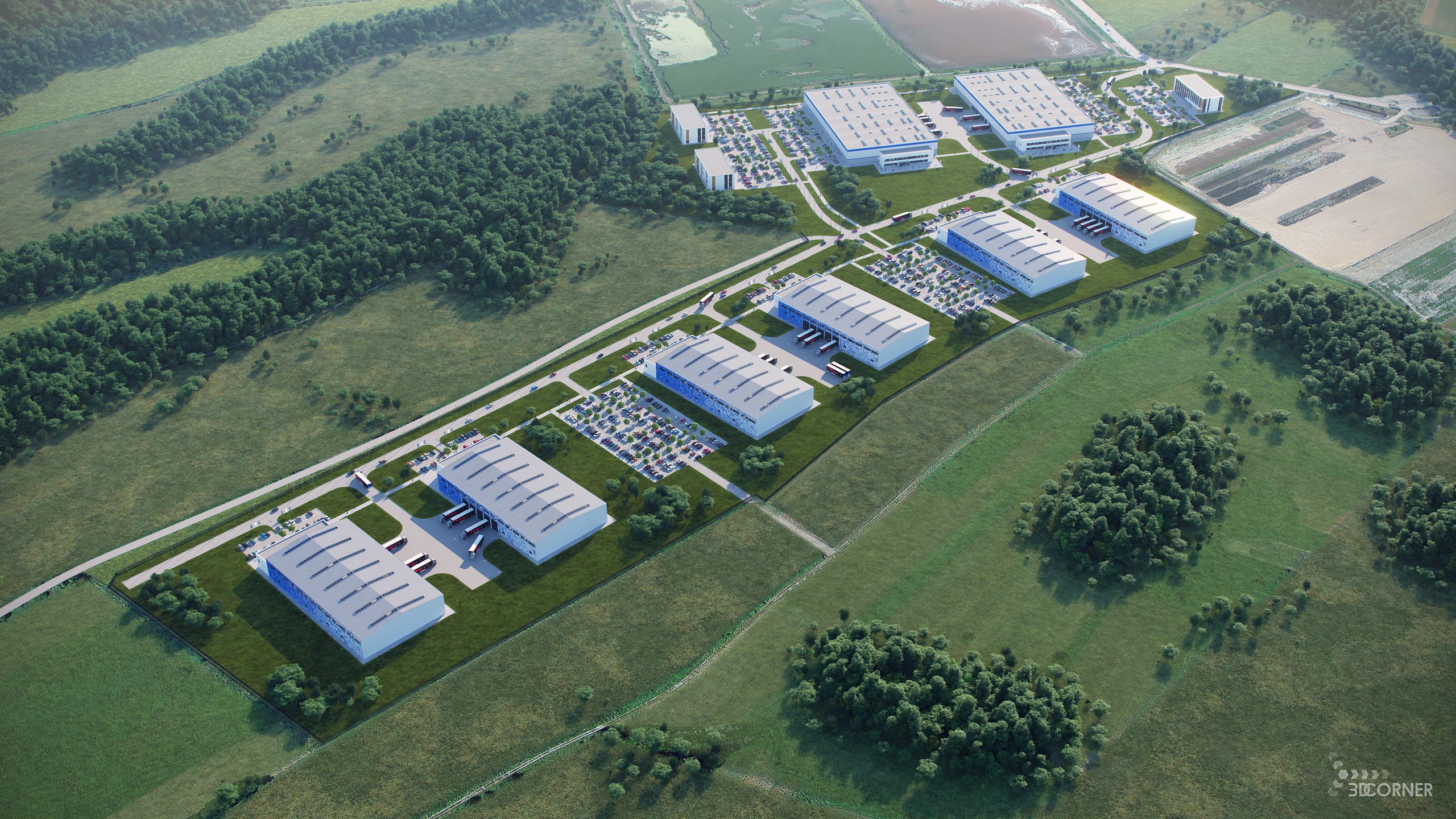
- Industrial Parks & Logistical Infrastructure: Clarifying massive structural footprints, arterial road access, shipping hubs, and large-scale parking allocations for corporate stakeholders.
Accelerating Capitalization and Municipal Approvals
Presenting a development from an elevated perspective directly optimizes your project’s regulatory and financial momentum. Crystal-clear aerial visualizations act as an ultimate tool during municipal planning reviews, smoothing the path to zoning approvals by proving environmental and architectural harmony. For marketing teams, these high-impact assets allow developers to secure anchor-tenant commitments, close pre-construction sales, and capture international buyer attention with unmatched visual authority.
Initiate Your Aerial Production
Partner with an elite CGI studio that understands the complex mechanics of large-scale architectural storytelling and respects strict development timelines. Let us transform your blueprints and site photography into powerful digital catalysts for your sales pipeline.
Ready to showcase your project’s true scale?
Contact our studio today for a precise, scope-tailored quote and elevate your masterplan presentation into the premium tier.
Examples of 3D Corner Aerial View 3D Visualizations